
Case Study
SafeZone
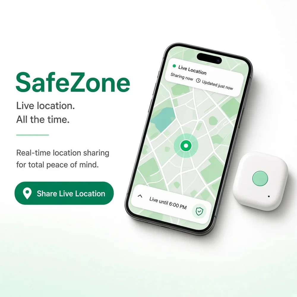
SafeZone is a GPS tracking platform designed to provide location visibility, movement monitoring, alerts, and fleet management through one connected system.
- 10 MonthsDelivery Timeline
- 13 SpecialistsProject Team
- 10 IntegrationsConnected Interfaces
Project Overview
SafeZone is a GPS tracking platform designed to help organisations monitor vehicles, assets, and mobile units through real time location information. Users can view tracked devices, review current locations, check movement history, configure alerts, and manage tracking preferences from dedicated interfaces. Operations teams can manage devices, users, geofences, alerts, location records, and tracking activity through an administrative dashboard. The platform was built to bring location monitoring and operational controls into one connected environment. Abhineh Infotech supported product planning, UI UX design, frontend development, backend engineering, tracking integrations, testing, and deployment.
Project Idea
SafeZone was designed to make location monitoring easier by connecting GPS data, live tracking, alerts, geofencing, history, and administrative controls within one platform.
Tracking operations can involve multiple devices, locations, movement records, users, and alert conditions. SafeZone needed to turn this information into an understandable experience where users could quickly view current locations while operations teams retained control over devices and tracking configurations.
Abhineh Infotech connected GPS devices, location services, tracking interfaces, geofencing, alerts, movement history, user accounts, and administrative workflows through a unified architecture. This helped location information move consistently between connected services while giving users and operations teams access to the information relevant to their responsibilities.
The product principle focused on clarity, speed, and confidence. Users needed clear location information, understandable movement history, and timely alerts. Operations teams needed structured tools for managing devices and tracking rules. Focused screens and consistent navigation helped make location data easier to monitor and interpret.
Challenges
SafeZone supported different user types with different tracking responsibilities. Individual users needed straightforward access to location information and alerts, while operations teams required broader controls for devices, geofences, users, movement history, and platform activity.
GPS tracking generates continuous location data across devices, routes, timestamps, movement states, and alert events. The platform needed structured data processing to handle frequent location updates while keeping current information, historical records, and alert conditions consistent across connected interfaces.
Large tracking environments can generate substantial volumes of location updates throughout the day. SafeZone required efficient data processing, caching, scalable backend services, and reliable cloud infrastructure to maintain responsive maps, tracking views, alerts, and historical location records.
Project Milestones We Achieved
| Milestone | Tasks | Timeline | Responsible |
|---|---|---|---|
| Discovery and Planning | Mapped tracking journeys, device requirements, location workflows, alert rules, geofencing needs, integrations, and technical architecture. | Month 1 to 2 | Product and Engineering Team |
| UI/UX Design | Designed live tracking, device management, map views, alert screens, location history, account areas, and administrative interfaces. | Month 3 | UI UX Design Team |
| Core Development | Built authentication, device services, location processing, tracking views, geofencing, alerts, APIs, and dashboard foundations. | Month 4 to 6 | Application Development Team |
| Integrations and Testing | Connected GPS, mapping, notification, and location services while validating data processing, tracking accuracy, and platform performance. | Month 7 to 9 | Integration and QA Team |
| Launch and Optimization | Prepared production infrastructure, completed validation, monitored tracking activity, resolved issues, and refined location monitoring workflows. | Month 10 | Engineering and Delivery Team |
Project Features
SafeZone combines live location tracking, device management, geofencing, alerts, movement history, and operational controls within one structured GPS monitoring platform.
Device Registration
Users and administrators can register tracking devices, manage device information, and associate devices with relevant vehicles or assets.
Live Location Tracking
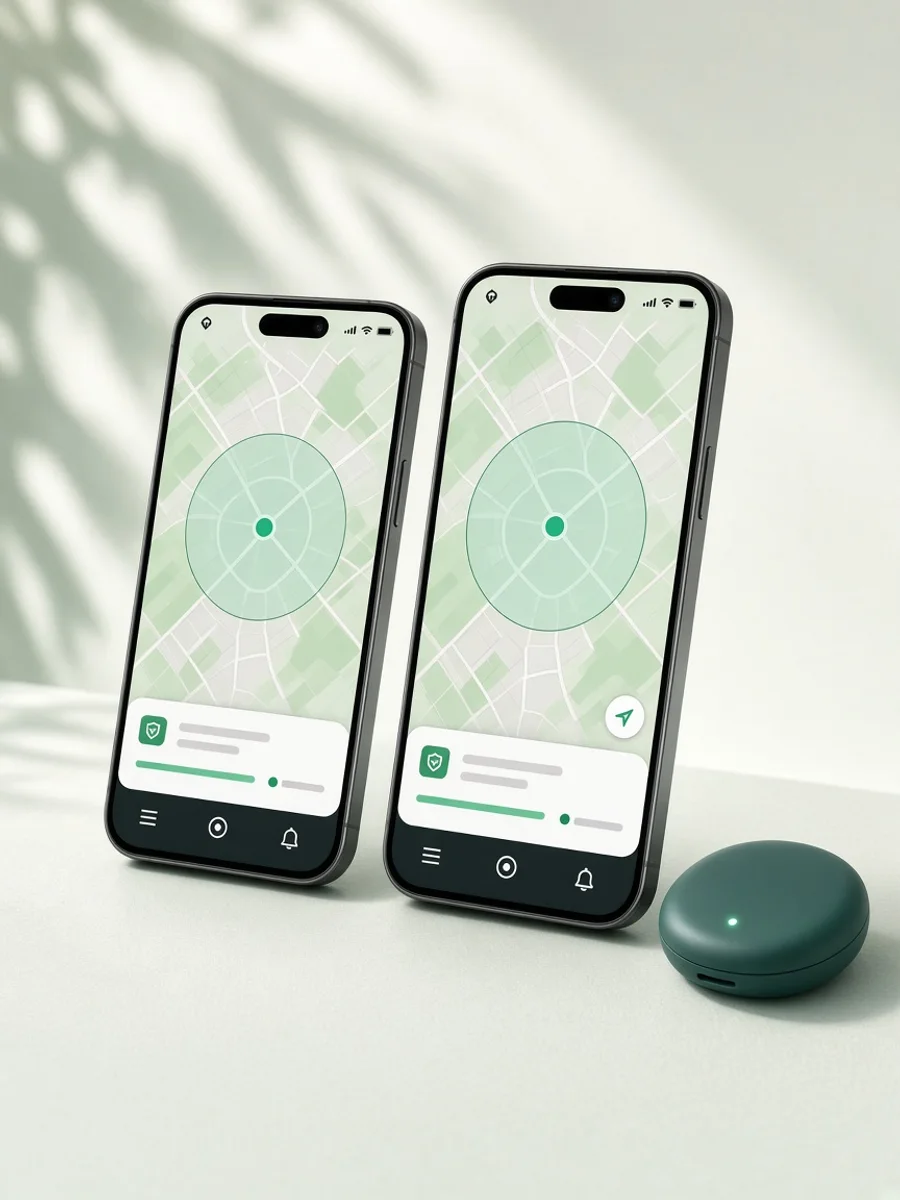
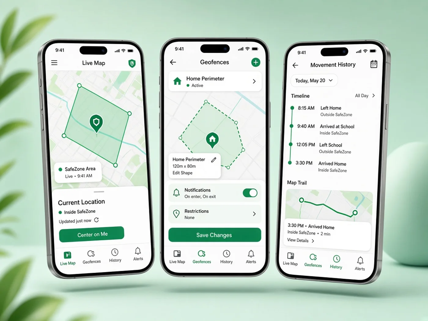
Users can view current device locations through map based tracking screens with accessible movement and location information.
Geofencing Controls
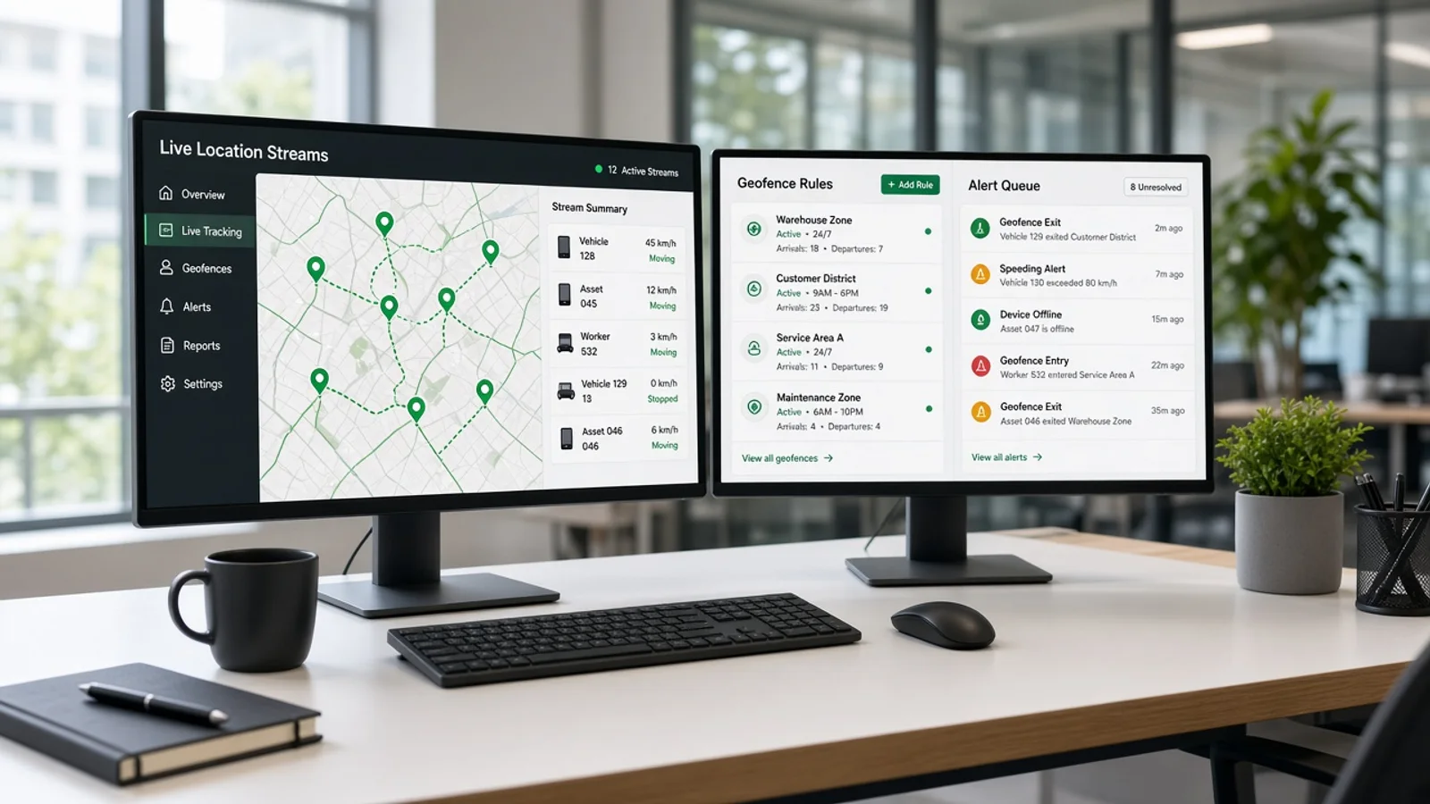
Operations teams can define geographic boundaries and configure tracking rules for monitoring movement within selected areas.
Location Alerts
Configurable alerts help users receive notifications for defined location events, movement conditions, and geofence activity.
Movement History
Users can review historical routes, timestamps, movement records, and location activity through structured tracking history views.
Operations Dashboard
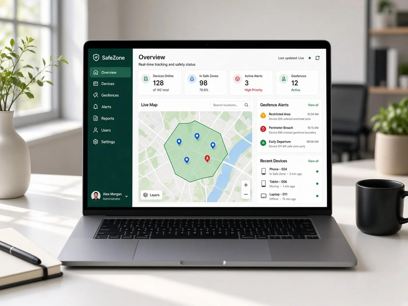
Internal teams gain central visibility into devices, users, locations, alerts, geofences, and tracking activity through administrative controls.
Results
SafeZone launched as a connected GPS tracking platform covering device registration, live location monitoring, geofencing, alerts, movement history, user management, and administration. The delivered product brought core tracking workflows into one structured environment.
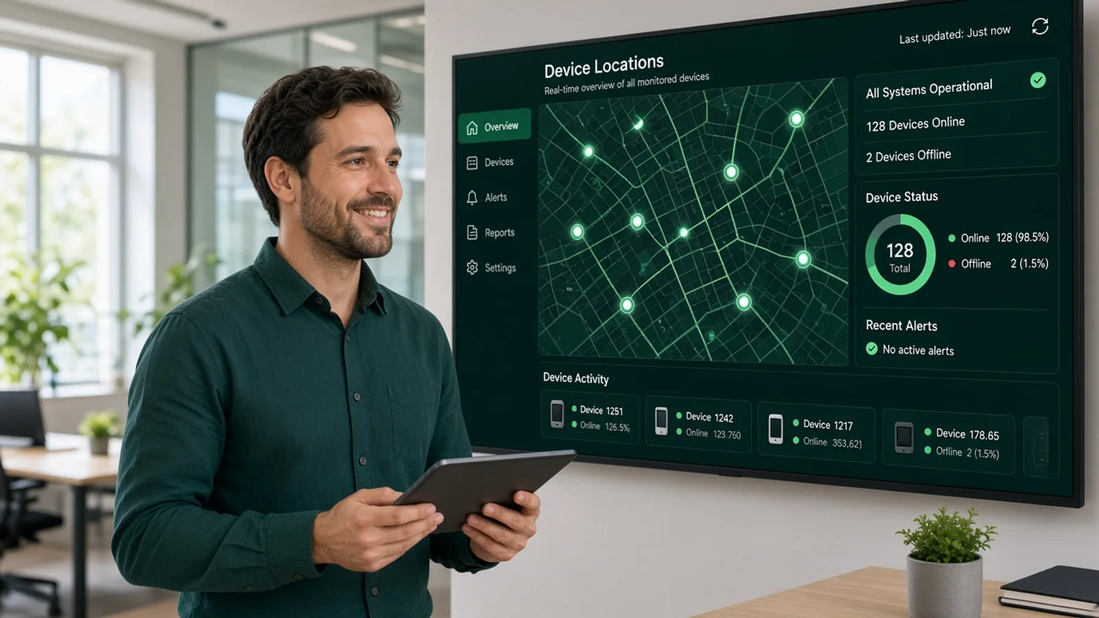
Centralised operational tools gave teams clearer visibility into connected devices, locations, alerts, geofences, and movement activity. Structured controls helped teams manage tracking configurations more consistently while reducing the need to work across disconnected monitoring tools.
Users gained a more organised way to review current locations, movement history, and important tracking events. Clear map views, accessible status information, and configurable alerts helped users stay informed without navigating through unnecessary interface steps.
The platform established a foundation for continued location technology development. Its architecture can support additional tracking devices, fleet capabilities, route analysis, advanced alerts, reporting, asset monitoring, and location based services as SafeZone evolves.
Development Process
Explore
- Tracking Research
- Journey Mapping
- Requirement Analysis
- Map Wireframes
- UI UX Design
- Flow Validation
Implement
- Mobile Development
- Backend Development
- API Development
- GPS Services
- Mapping Services
- Alert Services
Execute
- Location Testing
- Load Testing
- Security Review
- Cloud Deployment
- Tracking Monitoring
- System Optimization
Typography & colors
Plus Jakarta Sans
ABCDEFGHIJKLMNOPQRSTUVWXYZ
abcdefghijklmnopqrstuvwxyz
1234567890
Primary
#047857
Secondary
#34D399
Tertiary Color
#D1FAE5
Icons Color
#64748B
Text Color
#0F172A
Background Color
#FFFFFF
App Visuals
SafeZone
Zones active
Live
Device map
Zone
North depot
Alert
Zone exit
North depot
ReviewAlerts
Stay updated
Almost there
Create profile
Tech Stack
Angular supported responsive web interfaces for SafeZone with structured dashboards and tracking views. Java powered backend services for location processing, device management, and platform workflows. PostgreSQL managed users, devices, and tracking records, while Apache Cassandra supported high volume location data. Azure Maps provided mapping capabilities, and Microsoft Azure handled cloud infrastructure and deployment.
- Angular
- Java
- PostgreSQL
- Apache Cassandra
- Azure Maps
- Microsoft Azure
Build A Reliable GPS Tracking Platform
Talk with Abhineh Infotech about building connected tracking experiences for locations, devices, alerts, geofences, and operational monitoring.
Talk to Our Experts